Please note: I’m having a problem with my interface between Flickr and WordPress. The photos are appearing with the improper dimension. To see them in the original format, please click on the photo and you will be magically transported to Flickr.
I first hiked the length of the Backbone Trail as part of a NPS-sponsored event in 2006 and 2007. We hiked a section of the Trail each month, starting in October and ending in June. I tried to find as many geocaches as I could each month, but when hiking with a non-geocaching group, it’s often difficult to stop for a search. I had to walk by too many caches.
When Spinal Tap was published, I pretty much had to hike most of the trail again to either pick up the caches that I had walked by or to pick up the caches that were newer than my last time along that part of the trail. I completed Spinal Tap on March 12, 2009 with 95 finds. I was the 10th person to finish the challenge.
Soon afterward, the Backbone Trail became saturated with caches–one every tenth of a mile along the parts of the Trail that allows geocaches. [No caches are permitted on National Park Service control land.] There are now 256 active caches required to complete the Spinal Tap.
I’ve been back on the trail several more times–first, because I enjoy the trail, and second, to continue to pick up BBT caches that I don’t have.
With the 13 BBT finds today, I now have found 242 caches along the Trail–219 of which are still active caches.
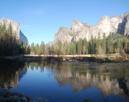
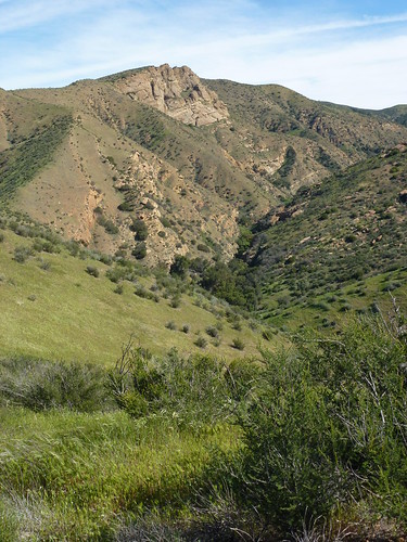
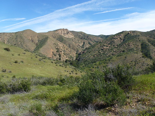
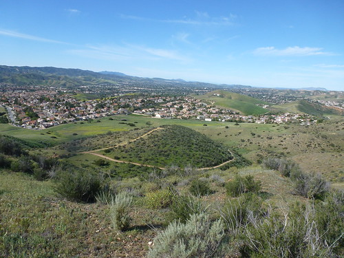
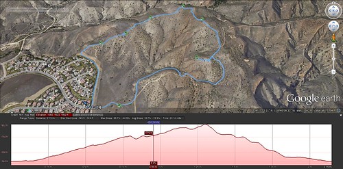
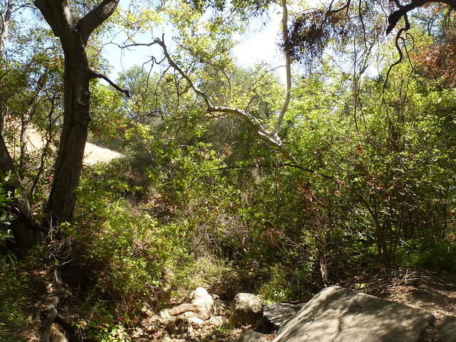
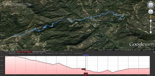
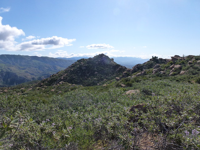
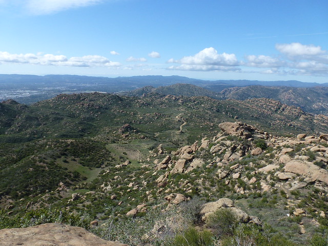
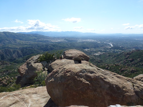
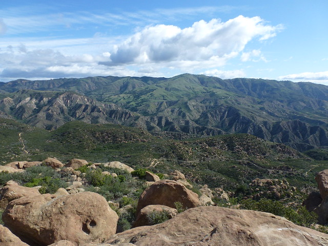
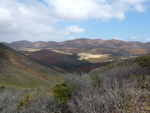
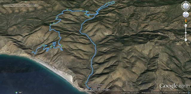
I started my hike today at the western end of the Backbone Trail at the Ray Miller Trailhead. My plan was to hike up the Ray Miller Trail, along the Outlook Trail, down into Sycamore Canyon on the Wood Canyon Vista Trail, then back up Hell Hill, into La Jolla Valley, and then back to the trailhead through La Jolla Canyon. When I arrived at the parking lot, I noticed a trail closure sign for La Jolla Canyon. I think it was actually good luck for me. I changed my plans and decided not to climb back out of Sycamore Canyon, but just do some caching there and then get a ride back to my truck. Considering how my feet and legs felt after the hike, I was happy that I only did Plan B.
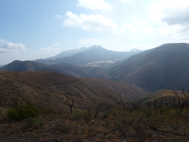
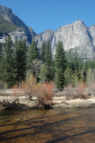
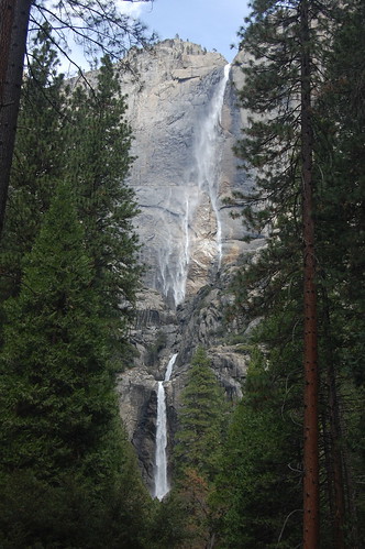
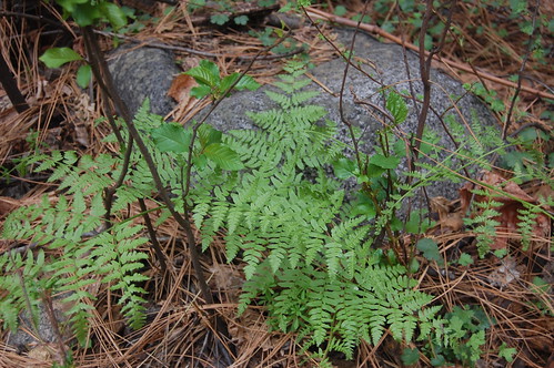
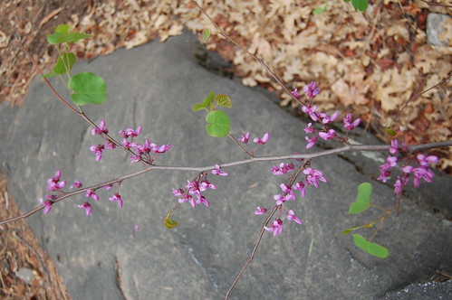
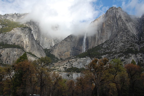
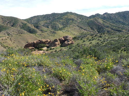
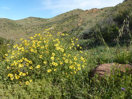
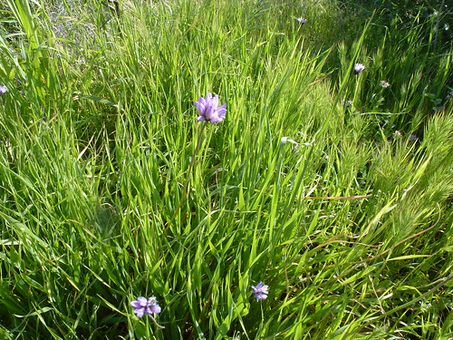
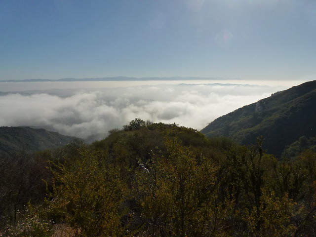
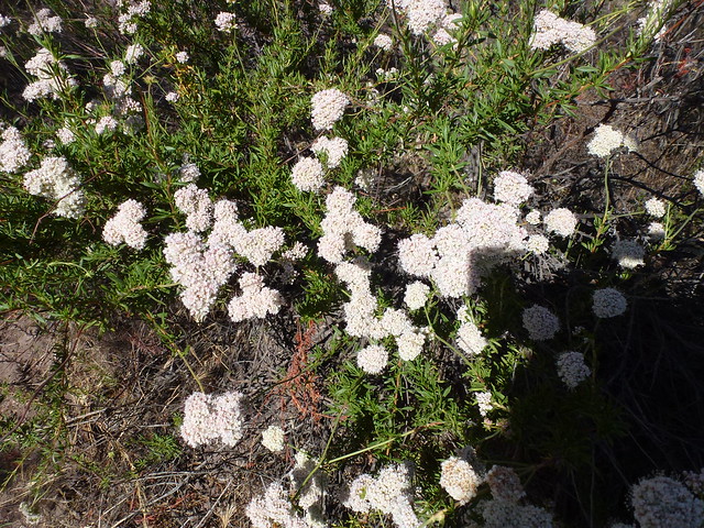
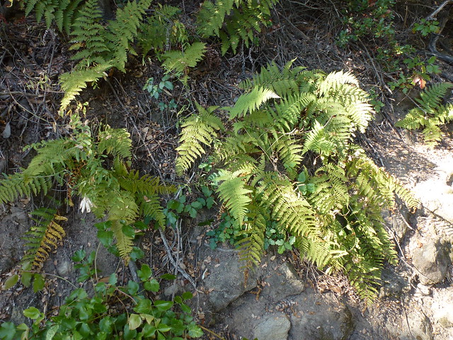
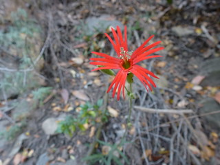
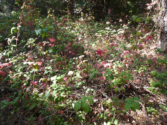
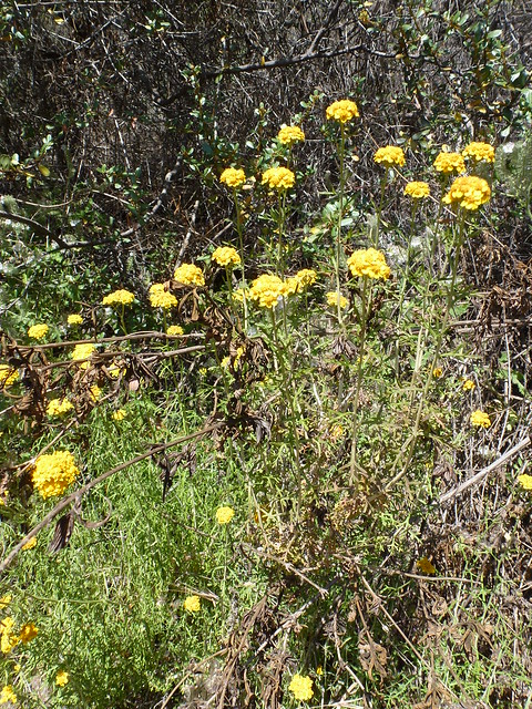
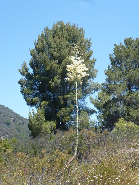
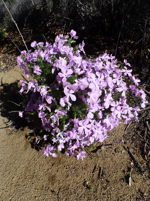
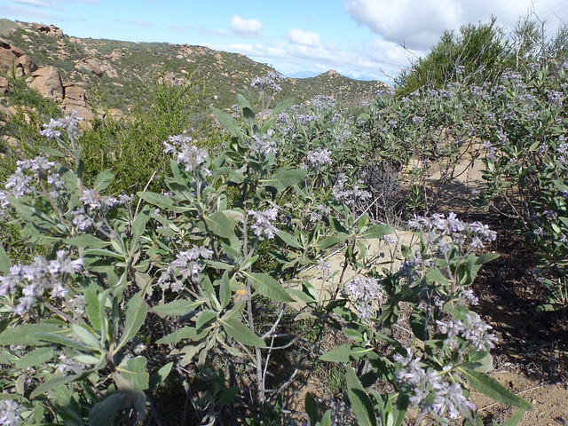
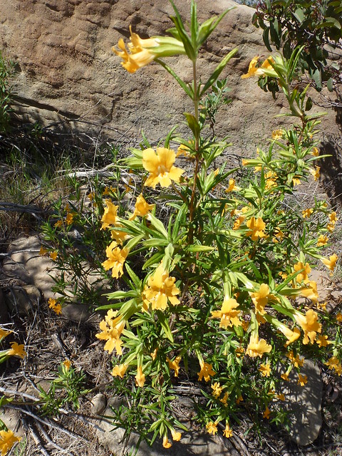
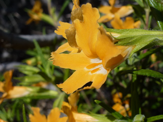
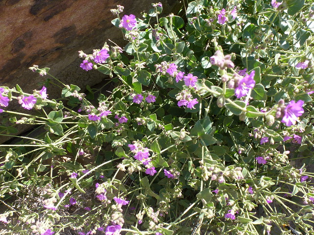
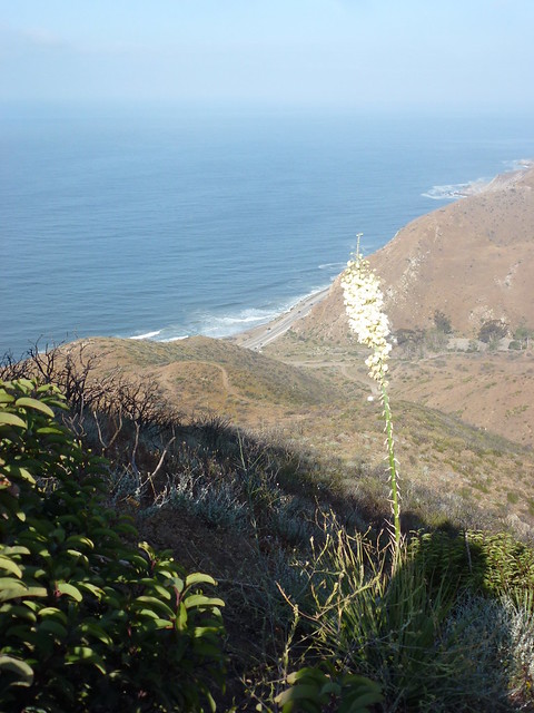
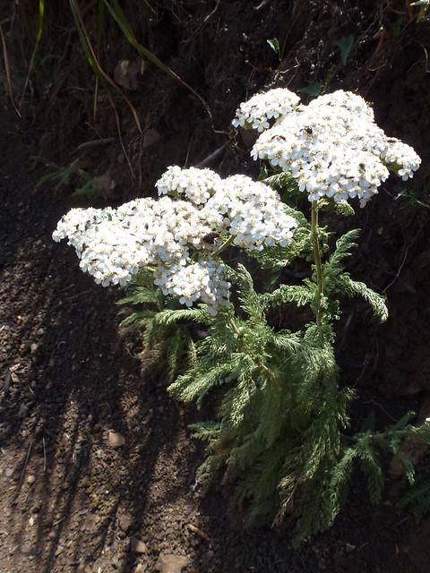
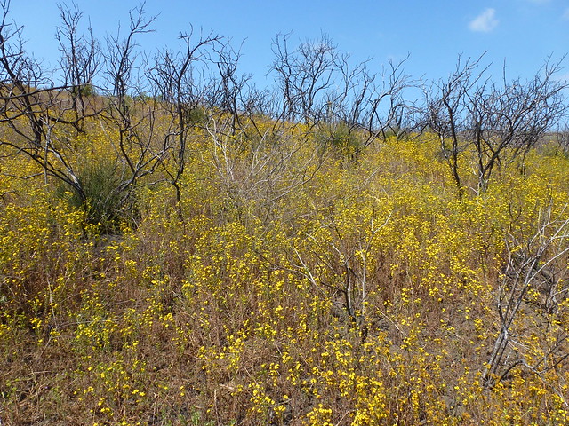
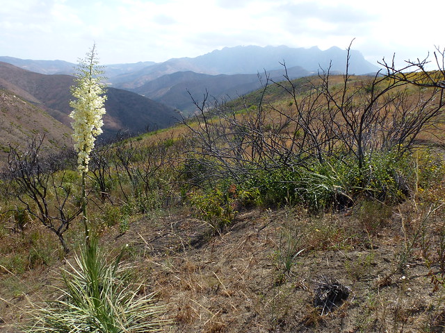
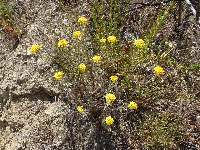
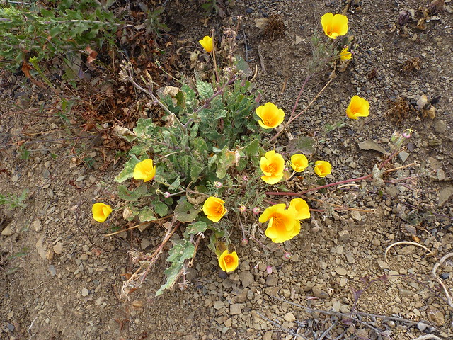
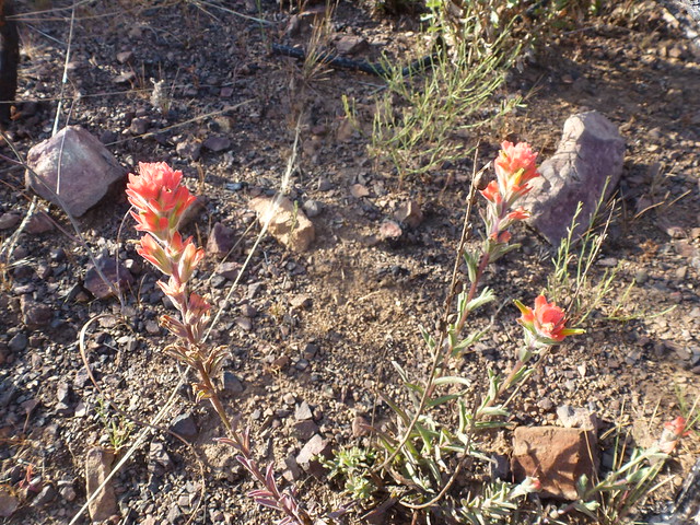
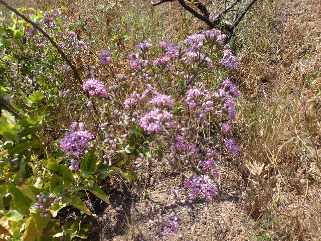
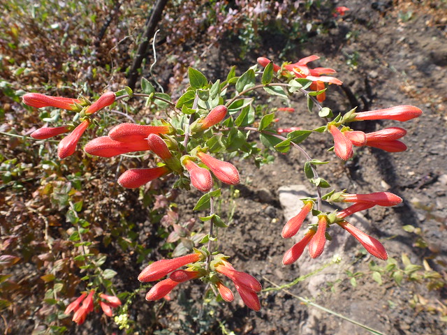
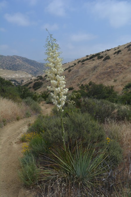
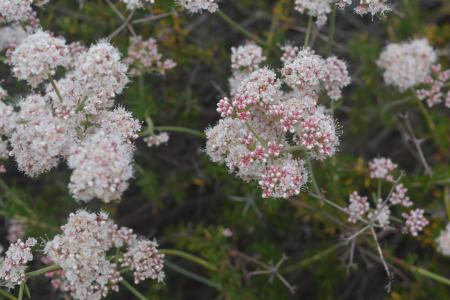
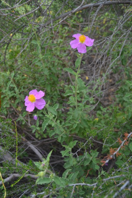
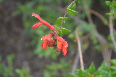
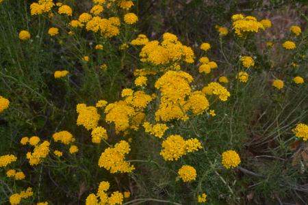
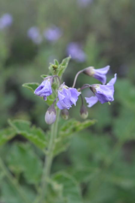
The last time that I hiked this area was in April 2013, a couple of weeks before the Springs Fire. The fire, and the subsequent mud flows, rather changed the look of the hills. Add in the drought conditions and the area has really taken a beating. I was surprised with the number of wildflower blooms today. The Wood Canyon trail was particularly colorful.
I was happy to be able to log Thanks paleolith and Don_J, now a special cache since the untimely passing of our friend Don on May 8th. I enjoyed my time on the trail with Don. He will be missed by many in the Geocaching community.
Although I was hiking alone today, I was far from being alone. I visited with a couple groups of hiking going up the Ray Miller Trail. They were curious about why I would stop and walk in circles while looking at the ground. I think I may have made a couple of geocaching converts. There were also a lot (read this way too many) mountain bikers. While hiking down Wood Canyon Vista Trail, I felt like I was walking through the Tour de France. While most of the mountain bikers were polite, far too many left their manners at home–or perhaps they never developed a sense of trail etiquette. I was almost run off the trail a few times.
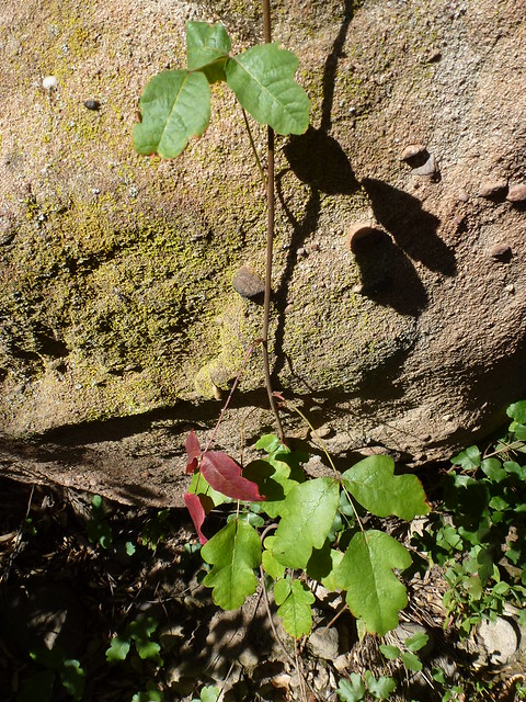
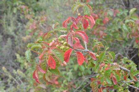
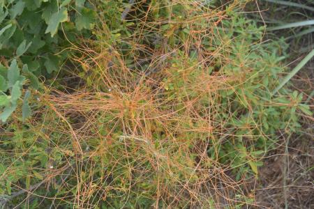
I only DNFed on BBT cache–Go hang a Salami I’m a Lasagna hog -aBBTpalindrome–but also DNFed too many caches in Sycamore Canyon. Quite a few of those DNFs were poison oak-related. I just am not interested in grabbing a smiley face if there is a chance of getting a bad rash. Check out some of the color variations of poison oak along the trail in the photos near the end of this post.
One find that I thought was interesting was Toe Stubber View, located in Sycamore Canyon along the Two Foxes Trail. The caches is a metal tin about 10 inches tall. It was blackened and rusted. Once I opened it, I realized why. It was a survivor of the Springs Fire. The contents were either charred or melted. The only thing in good shape was the log in a zip bag. TOHiker was the first finder post-fire and had put in a new log. That was on 06/28/2013. OLdweeb was the next finder–on 04/13/2014. Then I found it today. For an area that us so busy, this cache certainly isn’t getting much traffic.
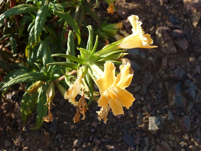
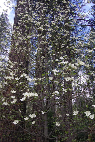
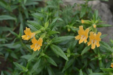
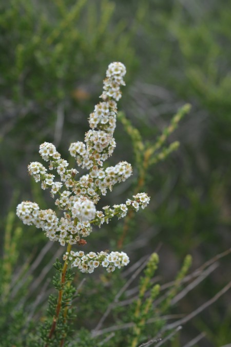
I hope you enjoy the photos of the wildflowers. I’ll try to identify them and post the names later.
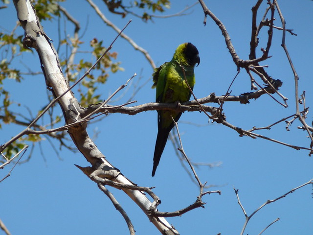
I had a visit by the flock of black-hooded parakeets that tells me Hello each time I visit Sycamore Canyon. This one was kind enough to pose for a photo.
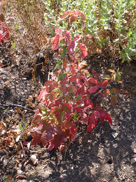
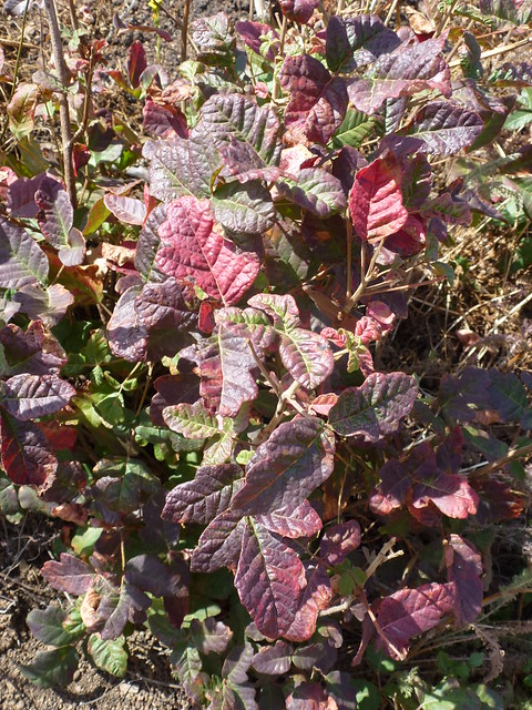
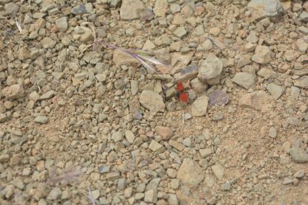
Here are a couple of poison oak photos. I should have also photographed the straight up green version of my nemesis. Some of leaves appeared almost black. Black, purple, red, pink, orange, yellow, green, or just the bare canes–just looking at it makes me itch. I’ve had way too many run ins with this colorful shrub.
It was a nice day for a long hike. I enjoyed all of it until the last couple of miles. By then, I was tired and ready to call it a day. I put in 12.4 miles and found 15 geocaches. And, hopefully, the poison oak didn’t find me.


 Posted by coakford